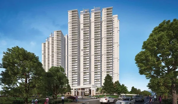
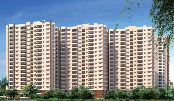
Purva Northern Lights Directions

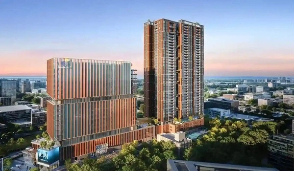
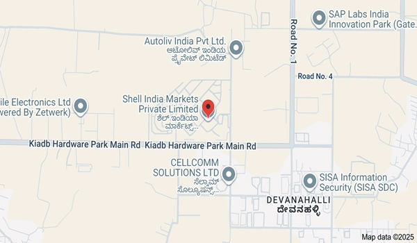
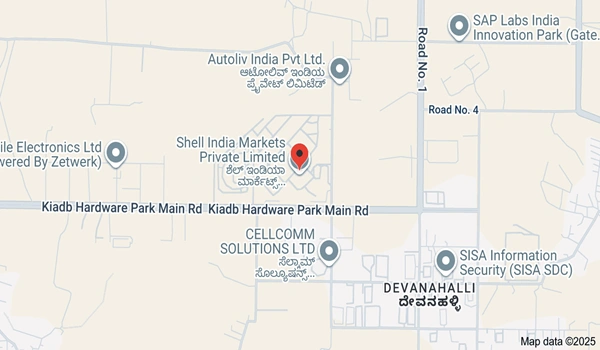
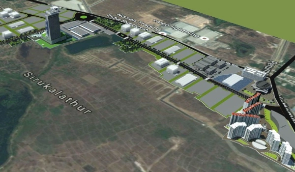
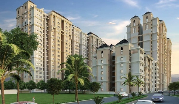
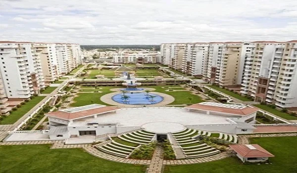
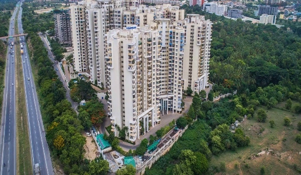
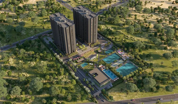
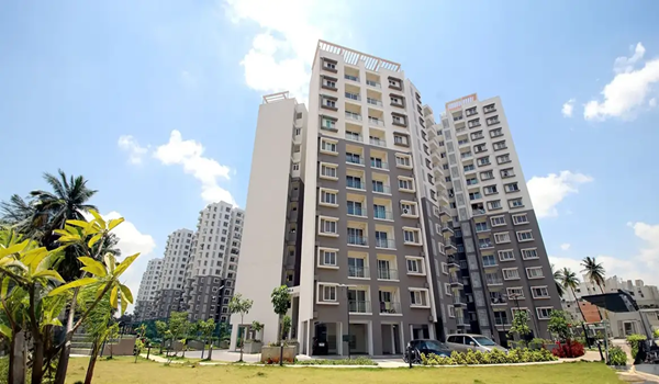
Purva Northern Lights directions show how to reach this luxury township by Puravankara Limited, located at KIADB Aerospace Park, Bagalur, North Bangalore, Karnataka - pin code 562149. RERA approval number is PR/120326/008523. You can find it on Google Maps by searching "Purva Northern Lights Bangalore" or "KIADB Aerospace Park, Bagalur Road." Kempegowda International Airport is approximately 8 km away via NH 44. The location also connects to Yelahanka, Hebbal, and Manyata Tech Park through well-maintained roads.
How to Reach Purva Northern Lights from Main Places
1. From Kempegowda International Airport
- Distance: approximately 8 km
- Travel Time: about 10 to 15 minutes via NH 44
The airport is very close. You can reach the project fast by taking NH 44 or Airport Road, these are wide and smooth roads.
2. From Yelahanka (North Bangalore)
- Distance: about 12 km
- Travel Time: around 20–25 minutes
- Yelahanka is a well known area in North Bangalore.
Many people travel from Yelahanka to Purva Northern Lights Hardware Park easily by car or taxi.
3. From Hebbal (Near Ring Road)
- Distance: around 18 km
- Travel Time: about 25–30 minutes
- Hebbal is a big road junction that connects many parts of Bangalore. From Hebbal, you can take the NH 44 / Outer Ring Road (ORR) to reach Purva Northern Lights.
4. From Bangalore City Center (Majestic / KR Market)
- Distance: around 35–40 km
- Travel Time: about 45–60 minutes
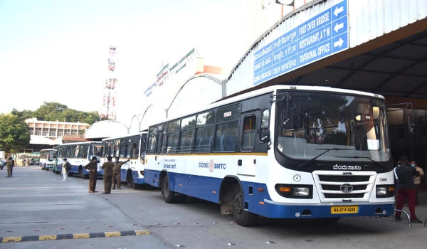
- City Center is where many buses, trains, and metro lines start. You can take a taxi or private car and go on Outer Ring Road (ORR) or NH 44 to reach the project. Public buses also go to North Bangalore, and you can change to a local bus or taxi for the last part.
5. From Electronic City (South Bangalore)
- Distance: about 50–55 km
- Travel Time: around 1 hour 30 minutes or more
- Electronic City is in South Bangalore. To reach Purva Northern Lights, you can take Hosur Road (NH 44) or Outer Ring Road (ORR) and then head north toward the airport and Aerospace Park.
6. From Manyata Tech Park (IT Hub)
- Distance: around 18 km
- Travel Time: about 30–35 minutes
- Manyata Tech Park is a major place where many people work. From here, you take NH 44 / Bellary Road to reach Purva Northern Lights. The journey is easy because of good roads.
Nearest Transit Options
Roads
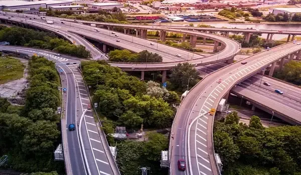
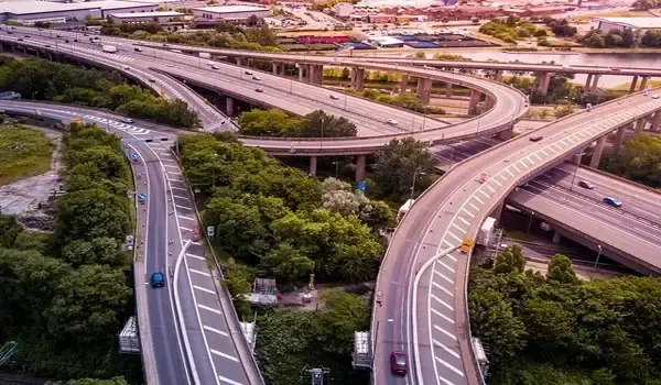
- The project is close to NH 44 and SH 104
- It also connects to STRR (Satellite Town Ring Road)
- These roads make it easy to reach most parts of Bangalore by car or by bus.
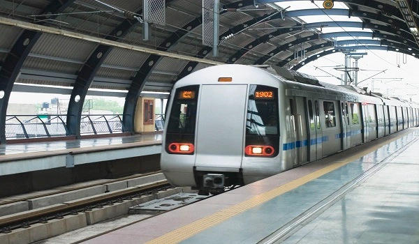
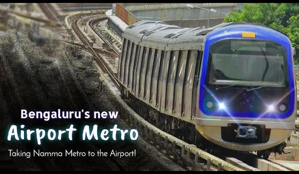
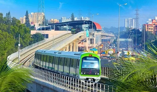
Metro (Future)
- The Bagalur Cross – Aerospace Park Metro Station is around 3 km away
- Once the Blue Line metro opens, travel to other parts of Bangalore will become even easier.
Train Stations
- Yelahanka Railway Station – about 12 km
- Hebbal Railway Station – about 18 km
These stations help people travel across the city or to other cities by train.
Nearby Schools, Hospitals, and Shopping Areas
Even though the focus here is how to reach the project, it’s good to know that important places are also close:
Schools (Close By)
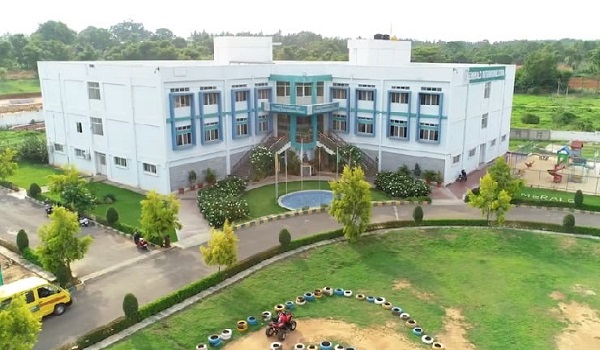
- Stonehill International School – about 9 km
- Delhi Public School (North) – about 12 km
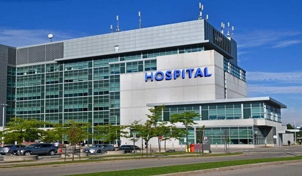
Hospitals
- Sparsh Hospital – around 8 km
- Narayana Health City – around 10 km
Shopping and Malls
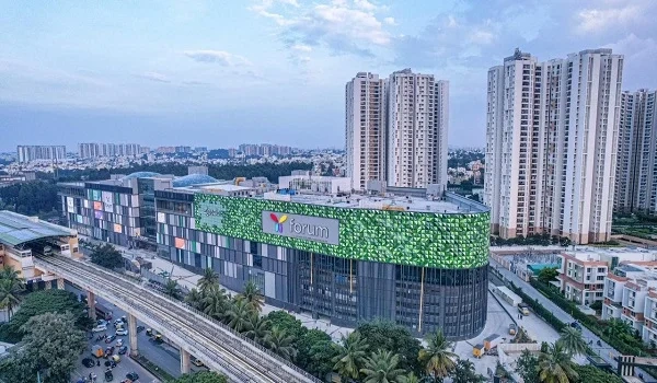
- RMZ Galleria Mall – around 13 km
- Bhartiya Mall – around 15 km
These places are easy to reach and make living here comfortable for families.
Purva Northern Lights Bangalore is connected well to major parts of Bangalore. You can reach it easily from the airport, Yelahanka, Hebbal, Bangalore city center, and Electronic City. Roads are smooth and buses, taxis, and cabs are easy to find. In future, when the metro line opens, daily travel will get even faster. Overall, this location makes life simple and travel easy for everyone.